Randonnée · Saint-Paul · Boucle
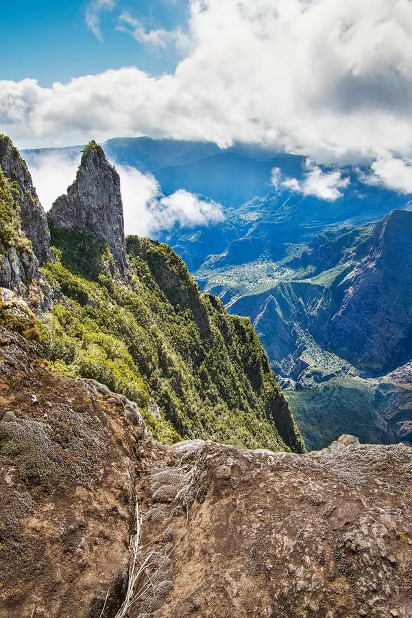
Le Grand Bénare par le Grand Bord et la Glacière

Distance16,2 km
Dénivelé +727 m
Dénivelé −727 m
Point haut2 890 m
Durée6 h 25
NiveauDifficile
Présentation
Boucle de 16,2 km à Saint-Paul, au départ de Parking 2 du Maido. Le parcours monte de 2 148 à 2 890 m, pour 727 m de dénivelé positif. En chemin : Grand Bénare et Le Maïdo et 3 sommets.
Durée estimée : 6 h 25 à allure normale, hors pauses (5 h 10 à allure rapide, 8 h 05 à allure tranquille). Altitude de 2 148 à 2 890 m.
Ce qui vous attend
14 photos du chemin, du départ à l'arrivée : lieux traversés et photos prises au bord du sentier.
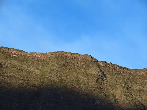
km 2,4 · Piton de la Ravine Saint-Gilles SommetRémih, CC BY-SA 4.0 — Commons 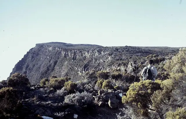
km 2,9 · Grand Benarerene boulay, CC BY-SA 3.0 — Commons 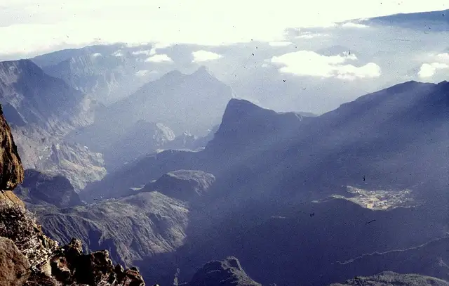
km 6,3 · Grand Benare Vue Mafaterene boulay, CC BY-SA 3.0 — Commons 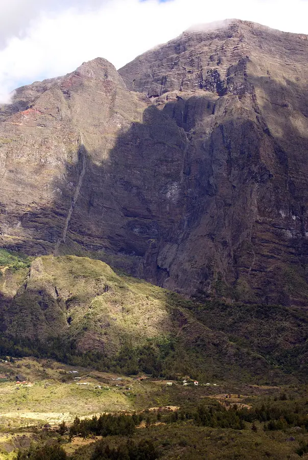
km 7,3 · Grand Bénare SommetB.navez, CC BY-SA 3.0 — Commons 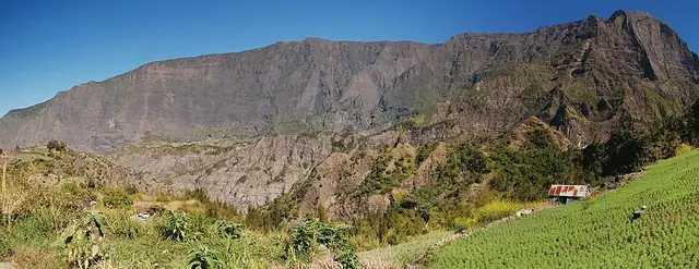
km 7,3 · Grand Bénare SommetDunog, Public domain — Commons 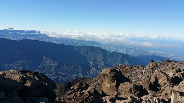
km 7,3 · Grand Bénare SommetEx Machina 007, CC BY-SA 3.0 — Commons 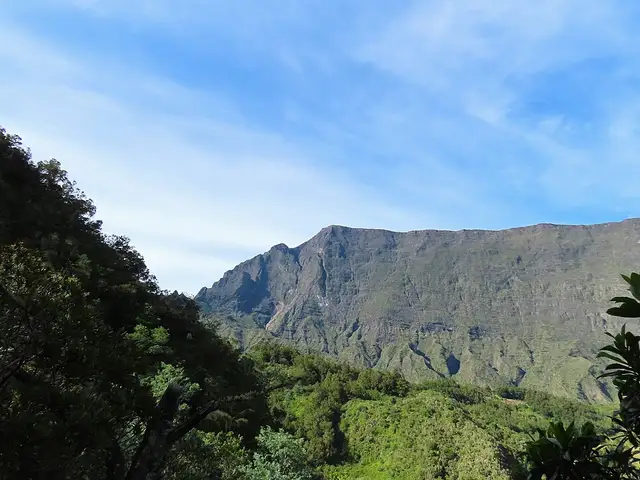
km 7,3 · Grand Bénare SommetRémih, CC BY-SA 4.0 — Commons 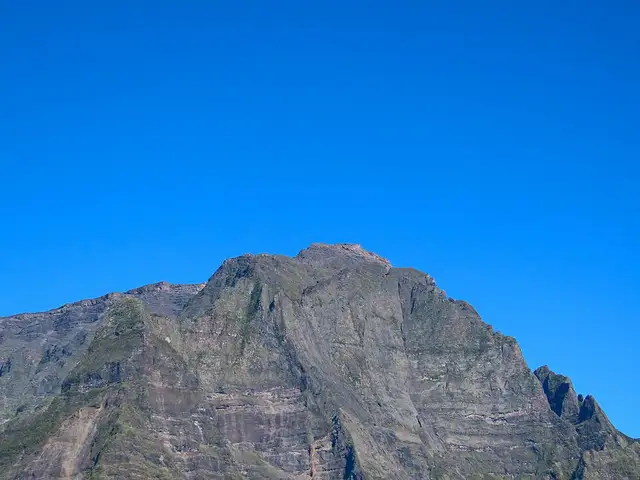
km 7,3 · Grand Bénare SommetRémih, CC BY-SA 4.0 — Commons 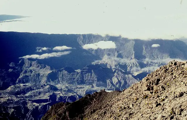
km 7,3 · Grand Benare Vue Cilaosrene boulay, CC BY-SA 3.0 — Commons km 15,9 · Le Maïdo BelvédèreAlexandre Péribé, CC BY-SA 4.0 — Commons 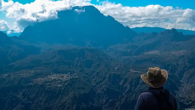
km 15,9 · Le Maïdo BelvédèreVillageHero from Ulm, Germany, CC BY-SA 2.0 — Commons 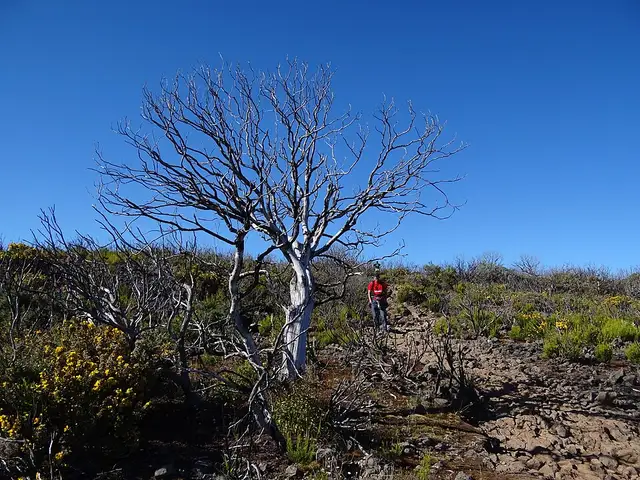
km 15,9 · Le Maïdo BelvédèreDominique Laterrière, CC BY-SA 4.0 — Commons 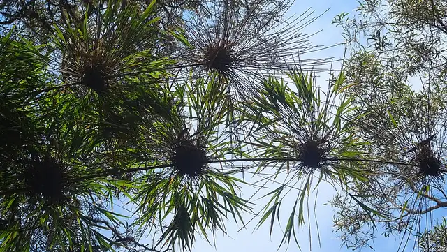
km 15,9 · Le Maïdo BelvédèreVillageHero from Ulm, Germany, CC BY-SA 2.0 — Commons 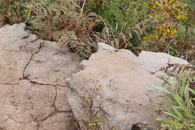
km 15,9 · Le Maïdo BelvédèreParchaco, CC0 — Commons

.jpg)


.jpg)

.jpg)

Tracé et profil
Tracé en tirets rouges, départ à la croix ; ronds : lieux en chemin.
Accès
Départ : Parking 2 du Maido, à 180 m du début du sentier. Itinéraire en voiture : Google Maps · Waze.
En chemin
- Piton de la Ravine Saint-Gilles Sommet · 2 352 m
- Grand Bénare Sommet · 2 894 m
- Piton de la Glacière Sommet · 2 475 m
- Piton Bernica Sommet · 2 145 m
- Le Maïdo Belvédère · 2 197 m
Sources
Parc national de La Réunion, IGN BD TOPO. Statistiques calculées sur les altitudes IGN (RGE ALTI), dénivelé lissé.
Randonnées à proximité
- Du Maïdo à la Glacière par Grand BordSaint-Paul · BoucleSoutenue · 12 km · +458 m · 4 h 30
- Boucle de Grand BordMafate · BoucleFacile · 3,03 km · +117 m · 1 h 10
- Roche Plate depuis le MaïdoMafate · Aller-retourDifficile · 13,2 km · +1 093 m · 7 h 50
- Piton des OrangersMafate · Aller-retourModérée · 5,06 km · +232 m · 2 h 05
- Grand Bénare depuis le MaïdoMafate · Aller-retourDifficile · 16,4 km · +738 m · 6 h 35
- Sentier de la Tamarinaie au MaïdoSaint-Paul · Aller-retourFacile · 4,35 km · +122 m · 1 h 30